Aerial View of Worthington
Description
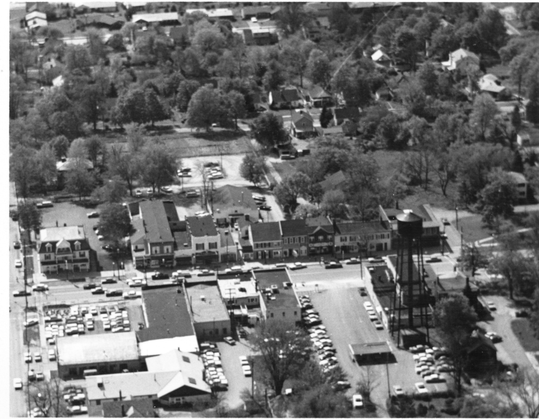
The 600 block of High Street between New England Avenue and the South Village Green is shown here. This view is looking west. This section of High Street is the business district in old Worthington.
Basic details
Aerial View of Worthington is an image, with genre photograph.
Its dimensions are 4 in. x 5 in.
It was created around 1968-1972.
City of Worthington is the creator.
You can find the original at City of Worthington.
Subjects
It covers the topics streets and roads and neighborhoods.
It covers the city Worthington.
It features the address 661 High Street.
Record details
This file was reformatted digital in the format video/jpeg.
The Worthington Memory identification code is cow0070.
This metadata record was human prepared by Worthington Libraries on . It was last updated .