Downloads
Full view (jpeg: 98.51 KB)
Learn more about copyright and access restrictions for use of materials from Worthington Memory.
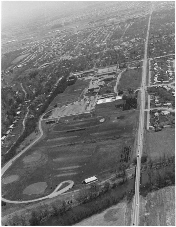
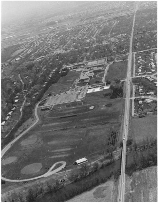
Aerial View of Worthington is a picture, with genre photograph. Its dimensions are 5 in. x 4 in..
It was created around 1968-1972.
City of Worthington is the Creator.
The campus of Worthington High School (now Thomas Worthington High School) is shown in this view looking east from the Olentangy River. The school was built in 1952. The land was once the school farm and has been in use for education purposes since the Village of Worthington was founded.
It covers the topics rivers, school buildings and streets and roads.
It features the organization Thomas Worthington High School.
It covers the city Worthington.
You can find the original at City of Worthington.
This file was reformatted digital in the format video/jpeg.
The Worthington Memory identification code is cow0074.
This metadata record was human prepared by Worthington Libraries on September 2, 2003. It was last updated February 8, 2019.